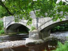
This walk traces the history of three neighbouring villages Daddry Shield, St Johns Chapel and Ireshopeburn. From their origins as farming settlements, through to the expansion of the mining industry in the mid 19th Century and the associated rises in population and conversion of locals to Methodism, this region has witnessed dramatic changes which have left their mark on the landscape of the upper dale. This walk tells the story of these developments while pointing out historic buildings and events associated with them.The walk was devised and described by volunteers of The Weardale Museum (www.weardalemuseum.co.uk), Ireshopeburn, where much more information can be found.

Location:
Starting from the Weardale Inn or St John Chapel Cattle Market car park.
Distance:
11 km
Terrain:
- Boggy ground
- Off road sections
- On road sections
- Steep sections
Area:
Access:
- Car parking
- Cycle parking
- Public transport
Interests:
Facilities nearby:
- Pub
- Shop
- Toilets


